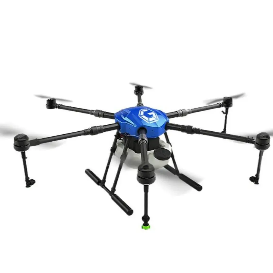
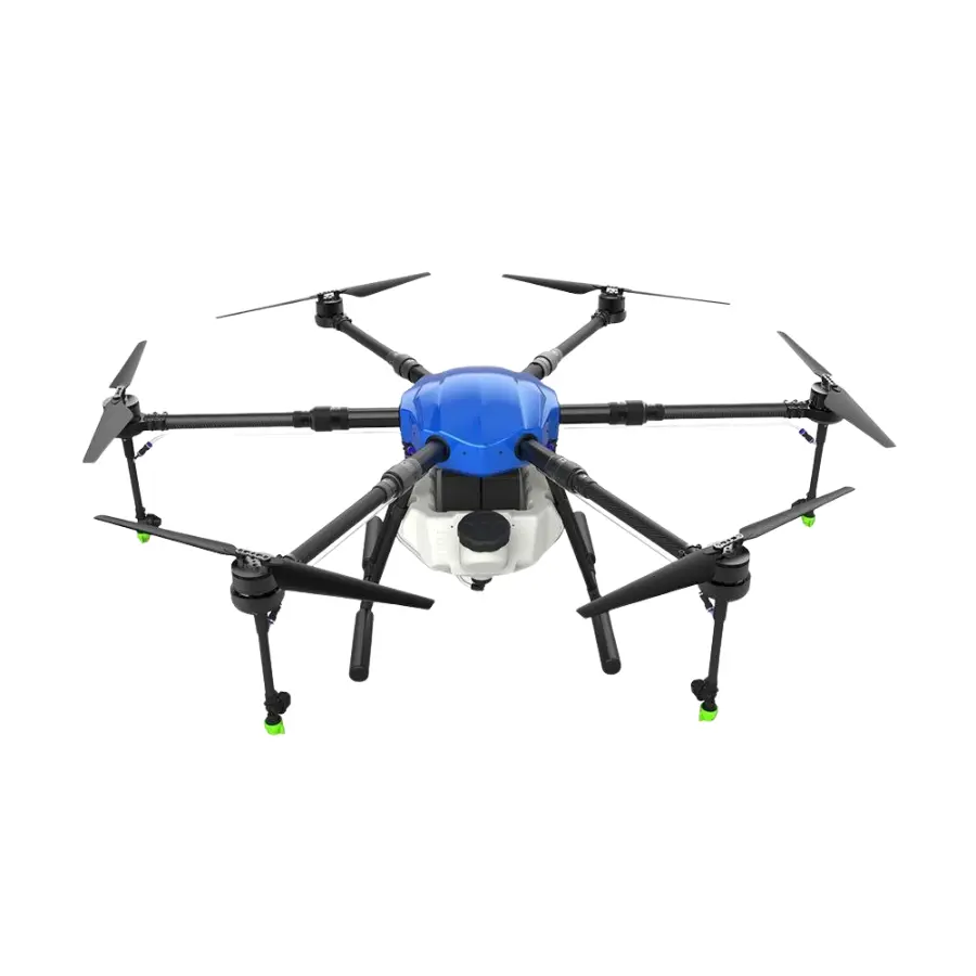
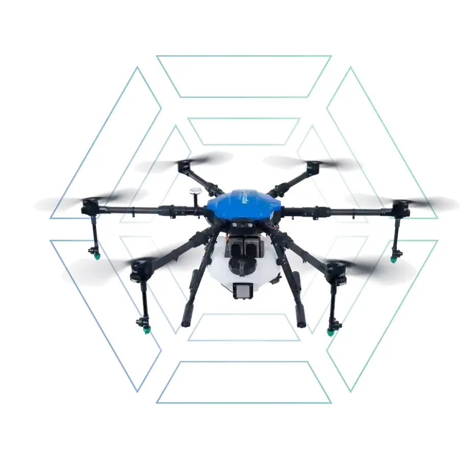
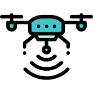
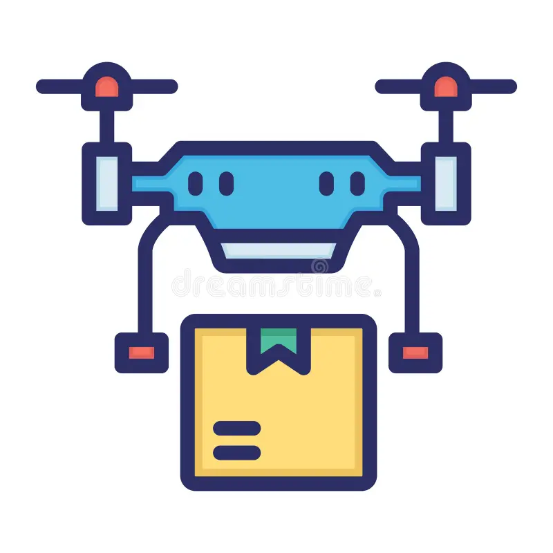
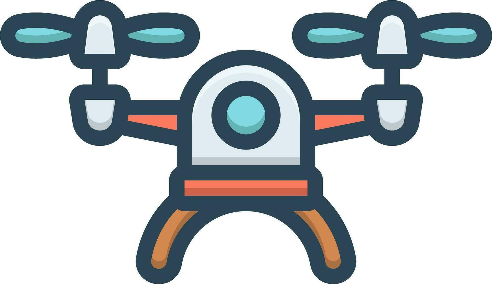
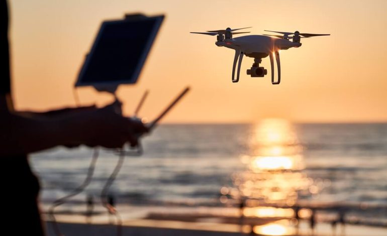
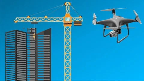
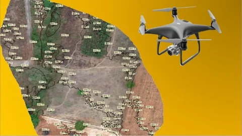
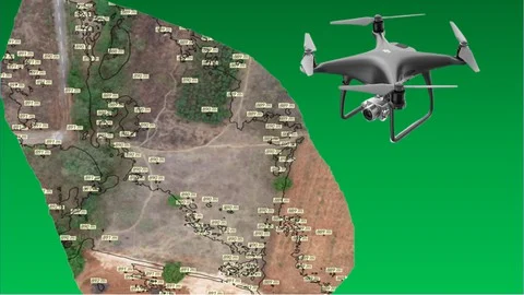
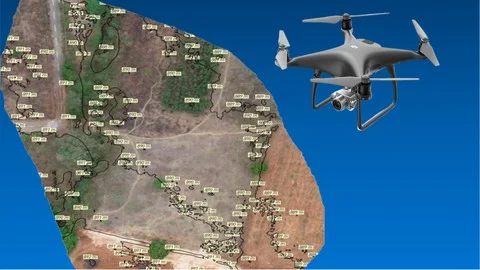
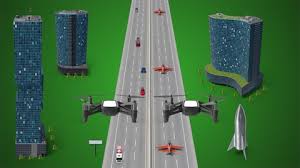
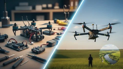
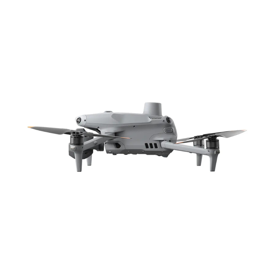
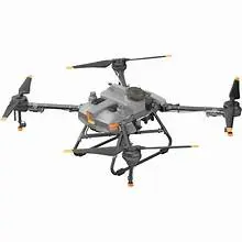
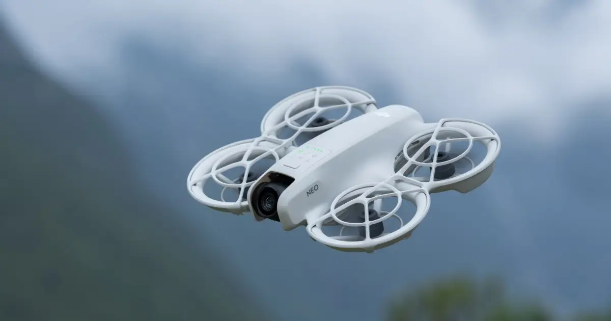
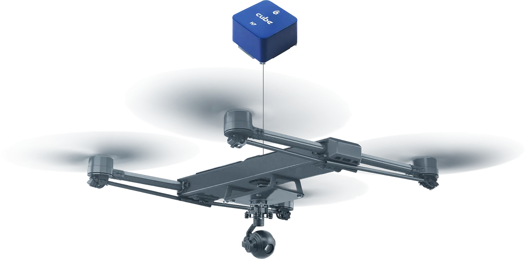
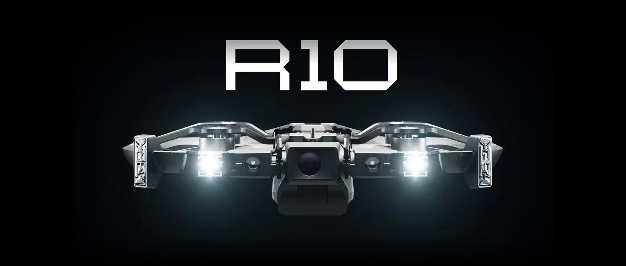
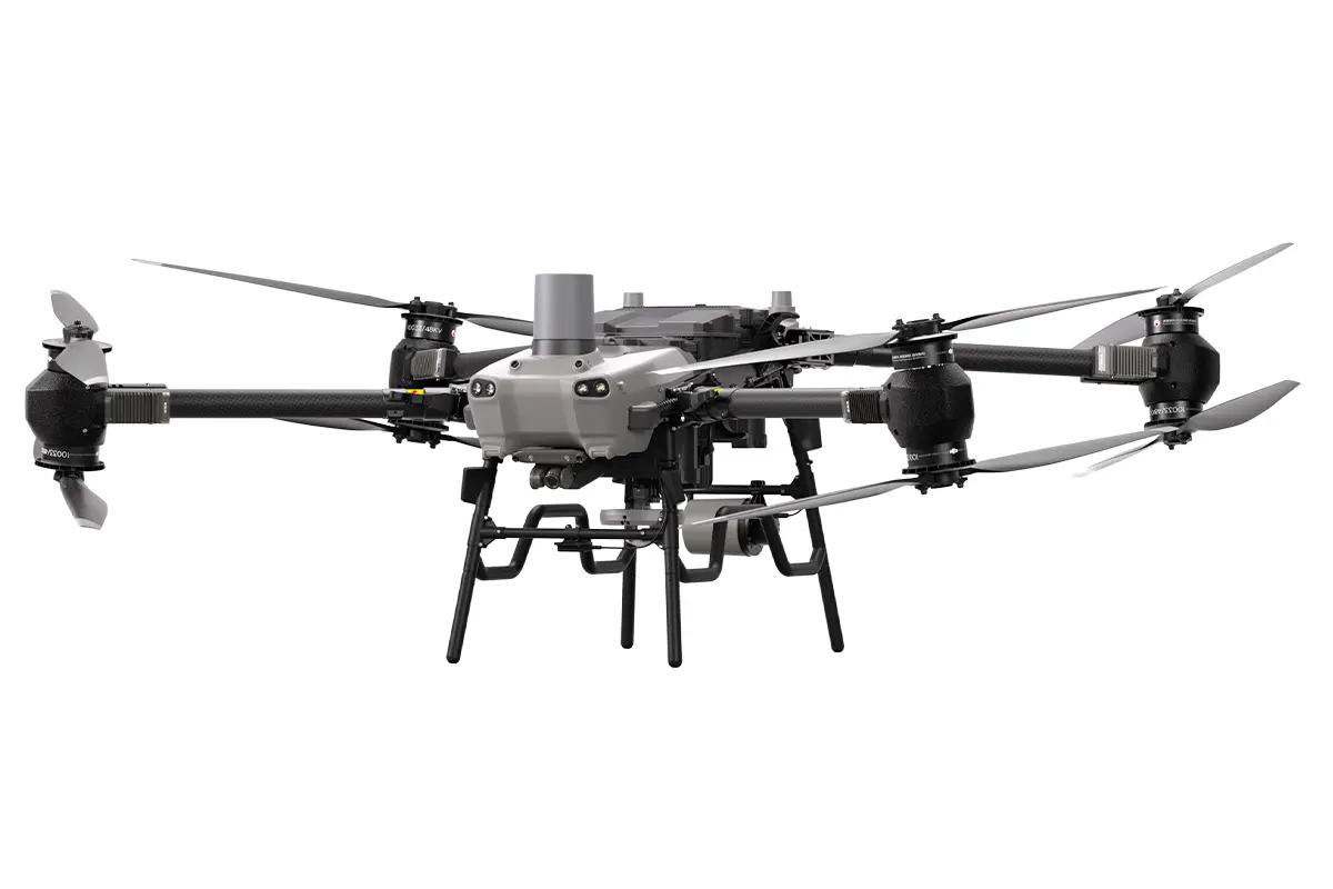
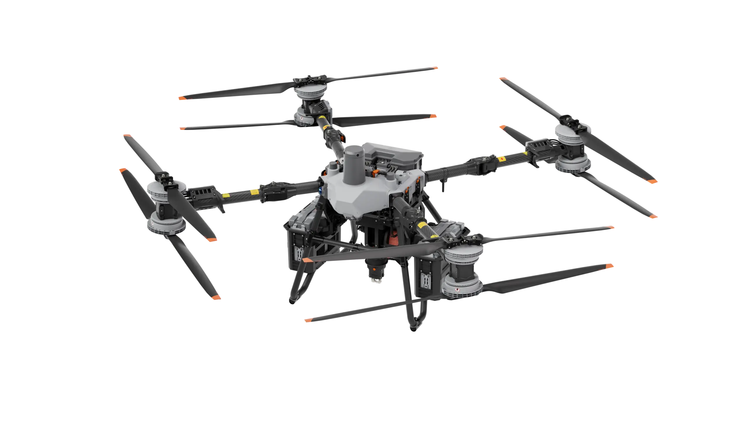
Build Drones Faster with India’s Drone Manufacturing Network
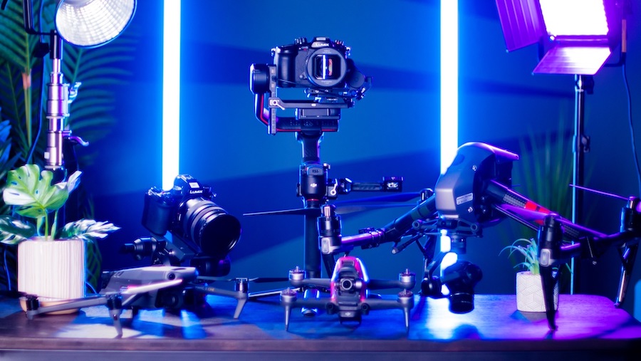
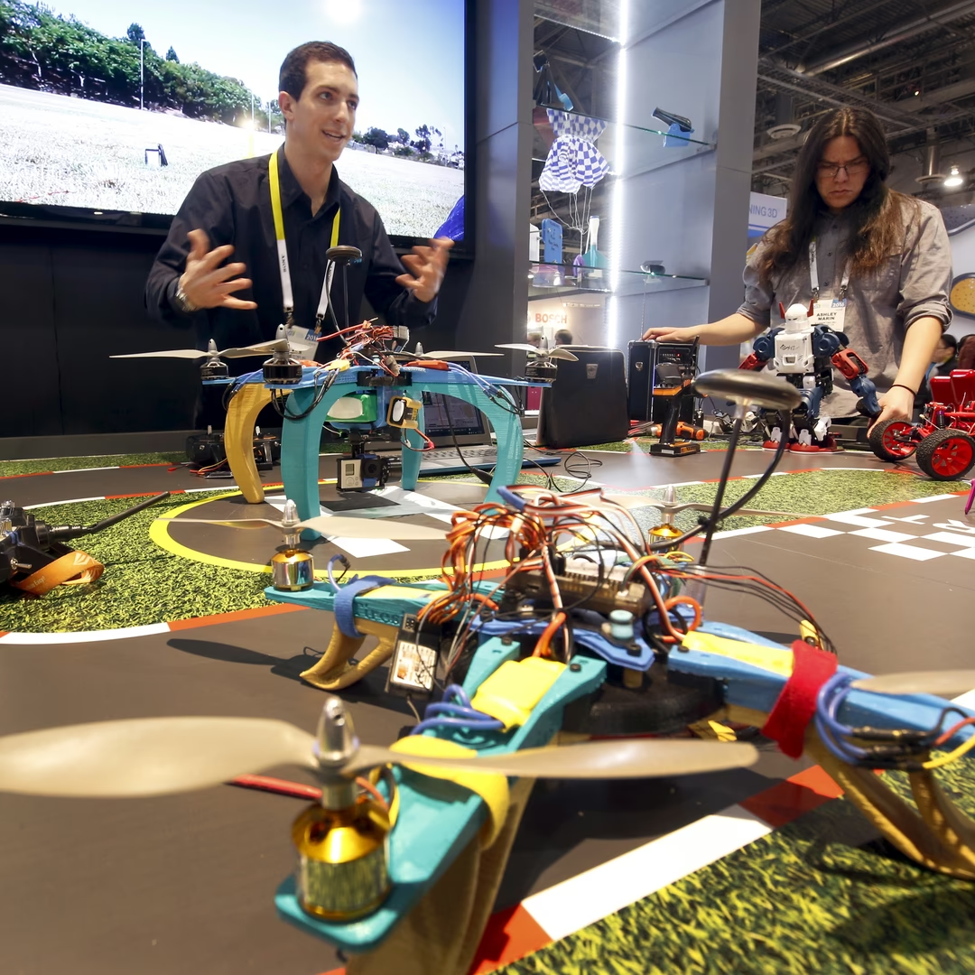
From prototype to production, SkyBots connects drone startups, enterprises, institutions, and OEMs with verified manufacturers, component suppliers, electronics partners, and testing experts
50+
Manufacturing Partners
100+
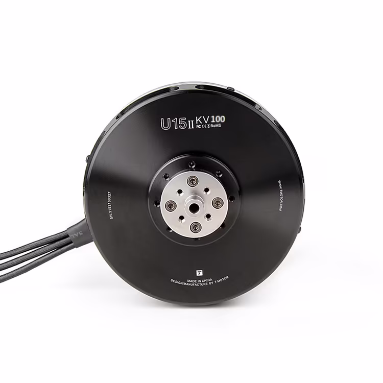
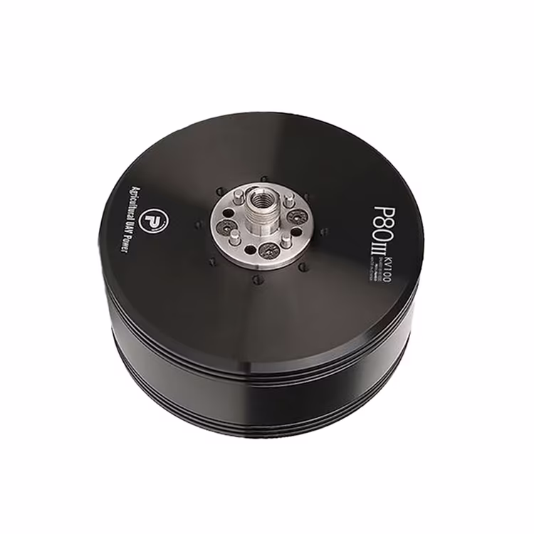
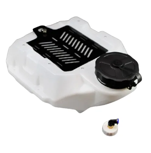
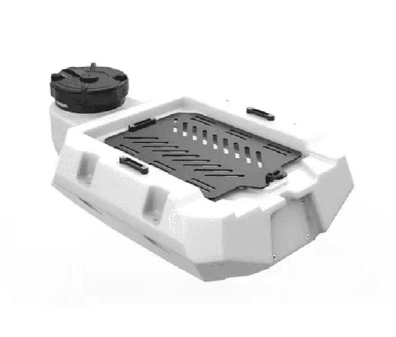
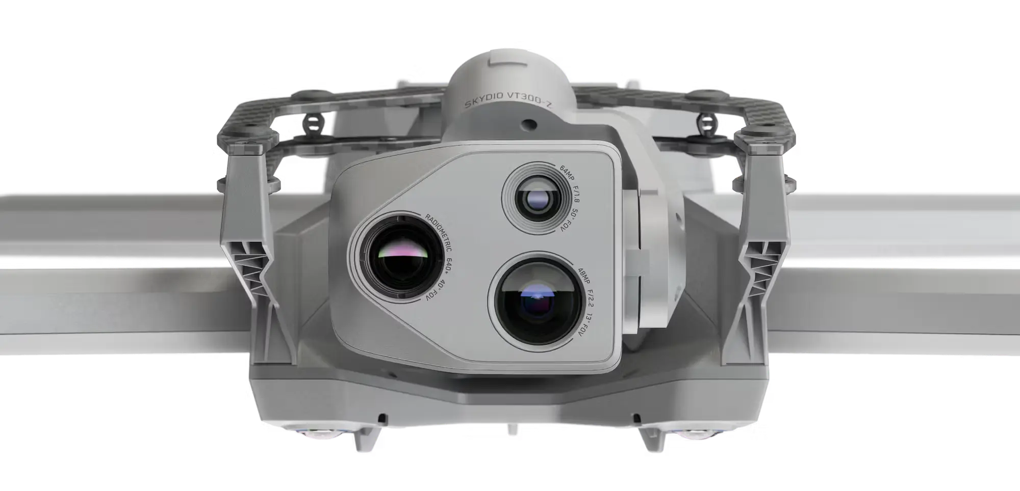
Drone Components
24/7
Quote Assistance
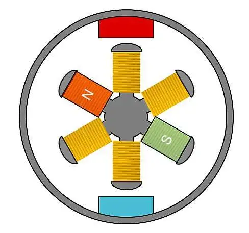
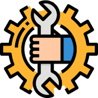
PCB Integration
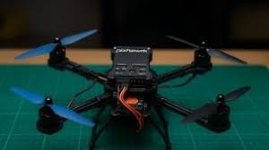
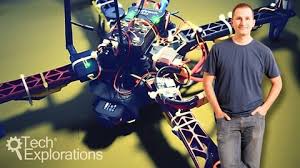
Prototype Build
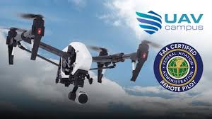
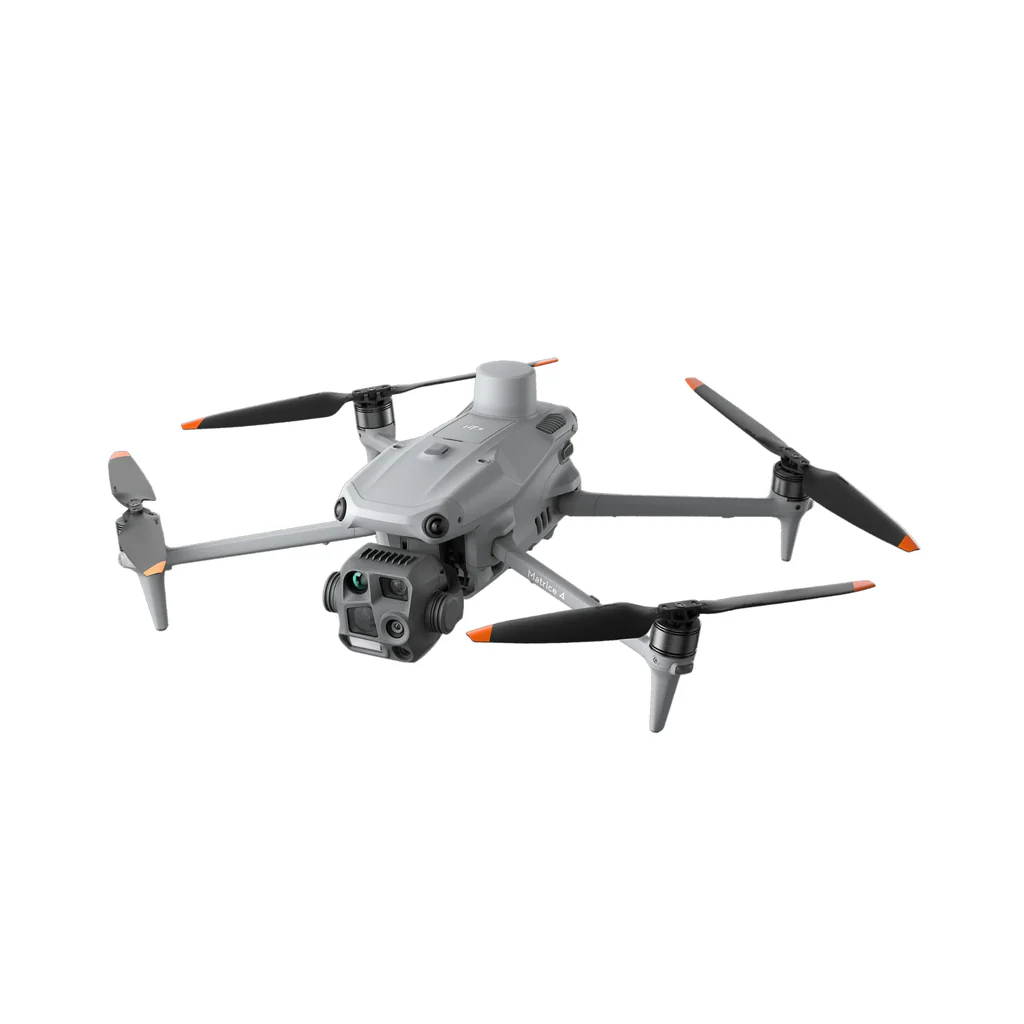
Verified OEMs