info@skybots.in
+91 8754531574
Location
| The Complete workflow in under 9 minutes | 8:08 |
| About us | 2:11 |
| Welcome! | 0:10 |
| Who is this course for? | 0:40 |
| What's the potential market? | 0:37 |
| Topics covered in this course | 1:04 |
| What is land surveying? | 0:47 |
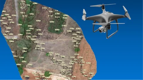
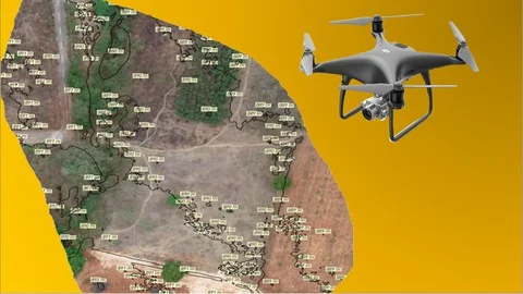
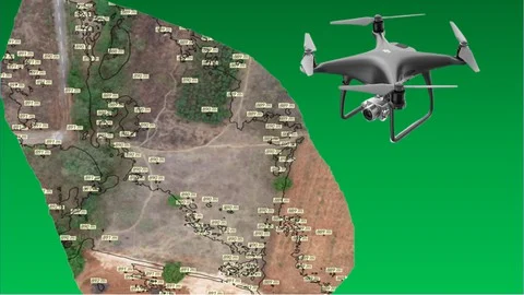
| Drones - transforming the land surveying industry! | 2:42 |
| |
| Advantages of Surveying with drones | 0:01 |
| Survey accuracy and Ground Sampling Distance | 2:53 |
| |
| Which drone is best for the job? | 3:04 |
| What is a flight plan? | 1:16 |
| |
| Nadir and oblique images | 1:10 |
| |
| Flight planning off site versus on site | 0:58 |
| Tagging GPS way points of site boundaries | 3;59 |
| Creating kml file from excel | 3;13 |
| Creating nadir image capture flight plans | 9:10 |
| |
| Creating multiple capture flight plans for larger sites | 5:42 |
| |
| Creating oblique image capture flight plans | 6:52 |
|
| Safety and regulations | 6:17 |
| Equipment and app check list | 4:33 |
| Marking boundary points | 4:15 |
| Choosing the best take off point | 2:41 |
| Adjusting flight parameters based on site conditions | 1:57 |
| |
| Nadir image capture with DroneDeploy | 4:54 |
| Image quality and coverage check | 2:04 |
| Planning additional flights | 2:17 |
| Return to Home and Continue Flight | 0:55 |
| Oblique image capture with Litchi | 0.04 |
|
| Image processing software | 1:29 |
| Definition of outputs of image processing | 5:16 |
| |
| Introduction to Pix4D | 3:51 |
| Pix4D Cloud processing steps | 7:12 |
| Pix4D Desktop processing steps - 1 | 6:44 |
| Pix4D Desktop processing steps - 2 | 5:55 |
| |
| |
| Conclusion | 1:19 |
This course is the first part of the 3 course series “The Ultimate Guide for Land Surveying with Drones”. This part covers the basics of land surveying and how drones have revolutionized this process. We have detailed all the steps involved in flight planning and execution and how you can go about processing the images captured to get the needed outputs. This course is especially useful for those of you who are beginners and have no experience with drone surveying.
The course series has over 6000 enrollments across 170 countries and it has been a bestselling course on Udemy.
Reviews
"Though the information about the workflow is exhaustive, it has been put in a very nice and concise way, I have started offering Drone Survey in my bouquet of services and today I got my first paying customer! Thanks."
"clear, descriptive, fun and generous teaching"
"Great content and easy to follow and understand. I think this is essential for anyone starting out with aerial mapping workflow."
"Good for beginners. Simple and easy to understand explanation which is very helpful for non technical people. I have learnt so much in under one hour!"
"The instrucor is very knowledgeable about drone mapping and it shows in the way he explains the entire workflow. I've really enjoyed the course!"

HUVIAiR Technologies is a Visual Data Technology company. Its major investor is Boeing. Huviair collects, processes and analyses contruction and mining jobsite data using Drones, 360 Cameras, Laser Scanners and Mobile Phones helping you save on progress monitoring time by 75%, manpower requirement by 50% and overall costs of the project by 20%.
We have a deep understanding of UAVs, sensors, photogrammetry, GIS mapping, surveying techniques, image processing, data analytics and software programming.
Our cloud based productivity enhancement software platform provides measurement and reporting of relevant metrics of construction progress tracking by converting data from various sources such as drones, laser scanners and 360 cameras into actionable, measurable metrics.
Vikshut Mundkur and Arjun Janananda are the instructors for our Udemy courses. As the CEO and CTO, respectively, of HUVIAiR Technologies, they have mastered drone mapping and data processing techniques. They have also developed processes and workflows for understanding customer requirements, planning and executing drone flights, processing the data and analyzing the outputs. They have an in depth understanding of photogrammetry, surveying techniques, terrain mapping and using GIS and CAD software


Incorrect OTP
Incorrect OTP
Designed and Developed by B2L Mobitech Pvt. Ltd.
Incorrect OTP
Designed and Developed by B2L Mobitech Pvt. Ltd.